Live Earth Features
Analyze and Navigate Your Data in Real-Time
Live Earth’s real-time data streaming platform is built with powerful, easy-to-use features that will help you visualize and extract the valuable and actionable information you need to make informed business decisions.
Our intuitive interface borrows concepts from your smartphone and tablet—like pinch-to-zoom maps and an interactive DVR-like timeline—and requires little or no training.

Gain access to these powerful, easy-to use features

High Speed, Real-Time Alerts
Live Earth’s rules-based alerts system can be tailored to identify and react to any risks or anomalous activity, whether you’re monitoring social media, traffic, or financial transactions.

Interactive Timeline
Whether you want to go back in time or see a live overview, our interactive map offers real-time and historical timelines of any event with easy navigation.
Connect to Any Data Stream or Feed
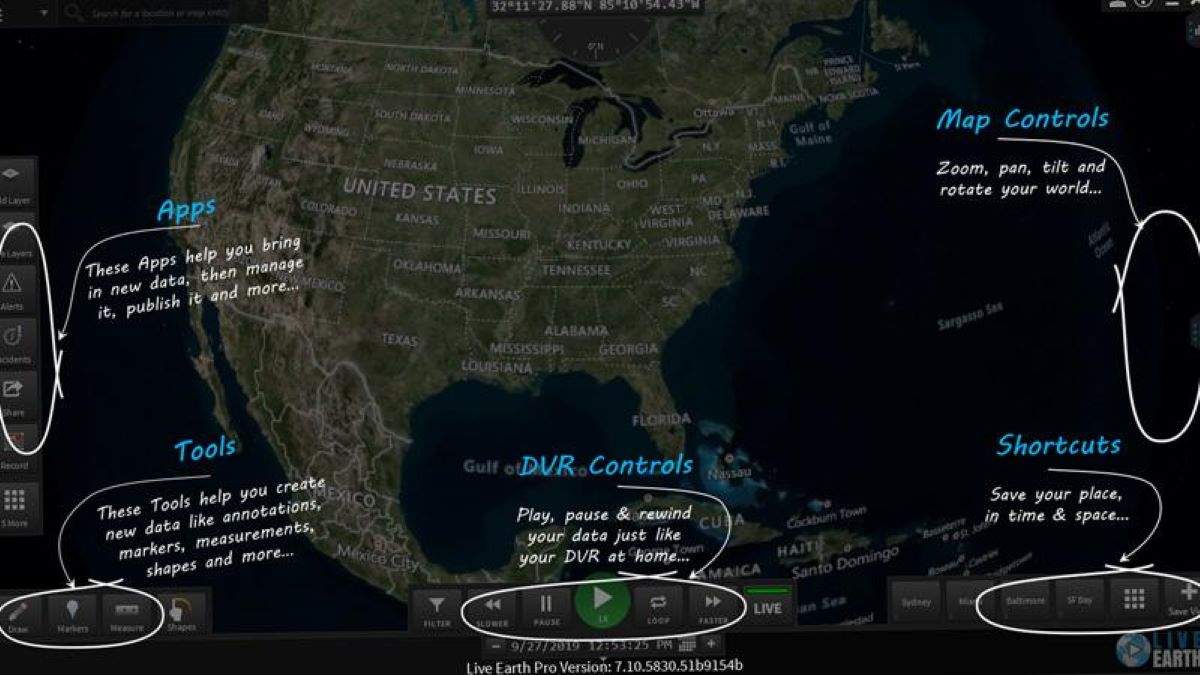
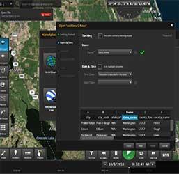
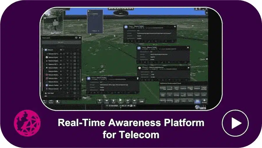
Live Earth’s Technology Partners provide you with the ability to integrate your existing systems through “Live Layers,” which are map data layers (overlays) that automatically update in real-time.
Easily connect to any system, sensor, video or connected vehicle through a library of third-party connectors, and add future systems to prevent vendor lock-in.
By synchronizing Live Layers with your own data sources on a single, interactive data visualization map, you can make unexpected discoveries, optimize workflows, and improve efficiencies with actionable intelligence.
See Live Earth in Action

Connect your platform on multiple layers