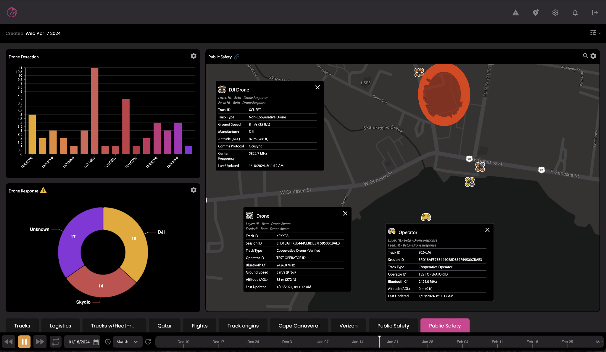
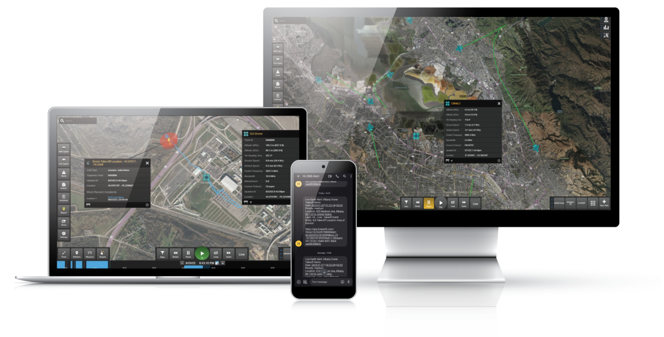

The Hidden Level Airspace Monitoring Service (AMS) integration with Live Earth provides users with unprecedented monitoring capabilities for unmanned aircraft systems (UAS / drones) over a city wide area. With use cases such as UAS delivery becoming closer to reality, urban centers present the greatest challenge for ensuring security and enabling safe commercial drone operations. Hidden Level’s sensor network reports the real time position of drones within a city’s airspace to ensure safe compliance and protect the public. The ability to distinguish between known commercial drone operations and unauthorized drone flights provides insight needed by security and law enforcement teams to take action with this advanced law enforcement mapping software solution. Airspace Monitoring data from Hidden Level visualized on the Live Earth platform offers users the unique ability to add a 3rd dimension to their security operation centers and Smart City technology initiatives.
Live Earth Texas Office
8350 N. Central Expressway, Suite 1900, Dallas, TX 75206
| Cookie | Duration | Description |
|---|---|---|
| cookielawinfo-checkbox-analytics | 11 months | This cookie is set by GDPR Cookie Consent plugin. The cookie is used to store the user consent for the cookies in the category "Analytics". |
| cookielawinfo-checkbox-functional | 11 months | The cookie is set by GDPR cookie consent to record the user consent for the cookies in the category "Functional". |
| cookielawinfo-checkbox-necessary | 11 months | This cookie is set by GDPR Cookie Consent plugin. The cookies is used to store the user consent for the cookies in the category "Necessary". |
| cookielawinfo-checkbox-others | 11 months | This cookie is set by GDPR Cookie Consent plugin. The cookie is used to store the user consent for the cookies in the category "Other. |
| cookielawinfo-checkbox-performance | 11 months | This cookie is set by GDPR Cookie Consent plugin. The cookie is used to store the user consent for the cookies in the category "Performance". |
| viewed_cookie_policy | 11 months | The cookie is set by the GDPR Cookie Consent plugin and is used to store whether or not user has consented to the use of cookies. It does not store any personal data. |