Transforming Data into Action
with Real-Time Geospatial PlatformUnleash the power of live data visualization
to make informed decisions faster.
About Live Earth

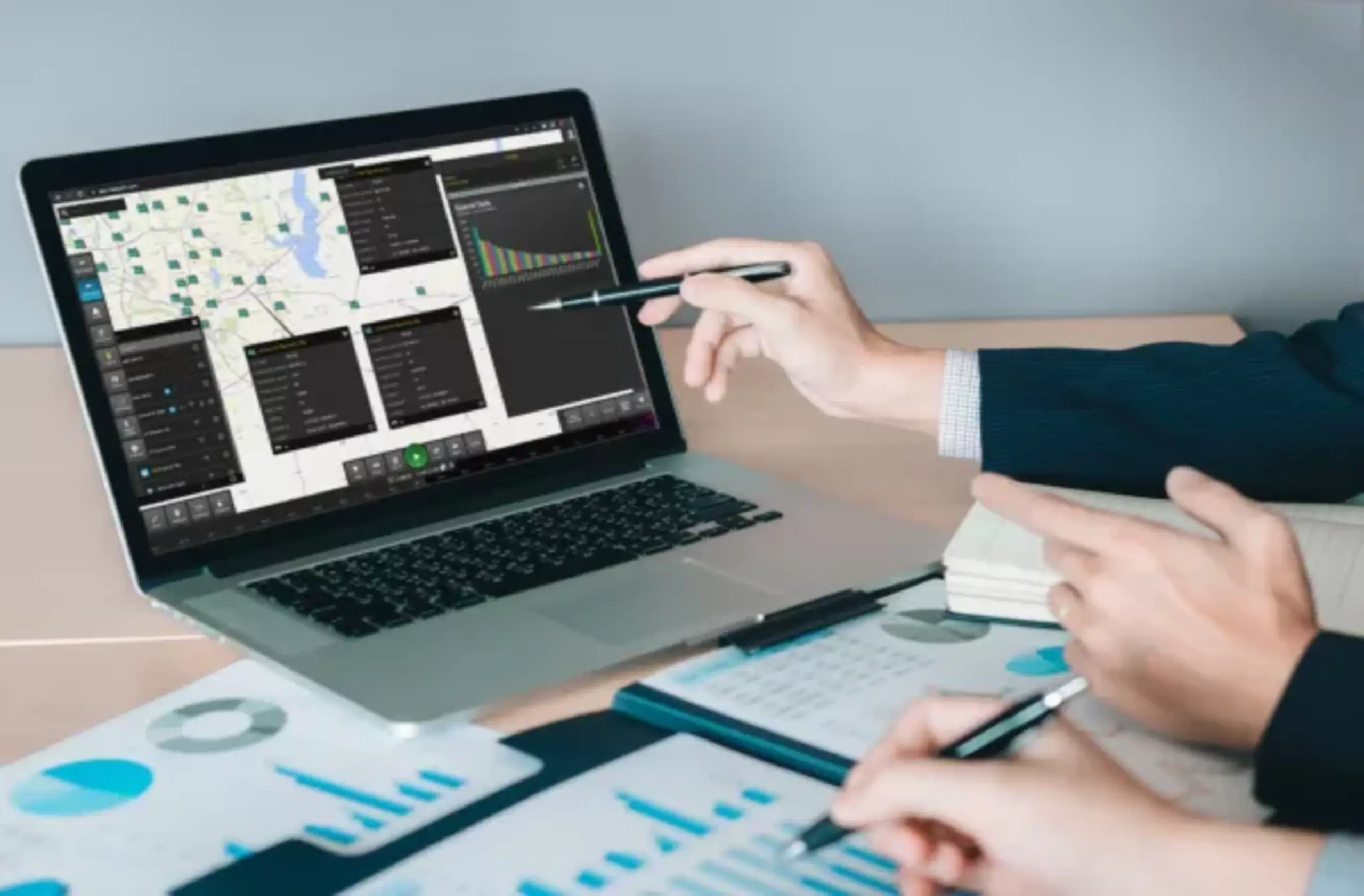
Live Earth is a geospatial real-time data visualization and analytics platform. Originally developed to equip U.S. Special Operations Forces with real-time visibility during classified operations, our common operational analytics platform is designed for enhanced situational awareness.
Why Choose Live Earth?
Key benefits such as:
Improved decision-making
Enhanced operational efficiency
Advanced data visualization
Key Features
Data Visualization
Highlight the ability to integrate and visualize live data from various sources.
Interactive Mapping
Show how users can interact with geospatial data for enhanced insights.
Advanced Analytics
Mention AI-driven analytics capabilities.
Custom Dashboards
Display the customizable nature of Live Earth's user interface.

The geospatial time-series capabilities were exactly what we needed. Before Live Earth, we couldn’t assemble the ESG data in a timely manner.
Head of ESG Equity Research,
APAC
Latest From Live Earth
Insert recent updates / new features.


