

Live Earth’s platform has revolutionized the way we approach incident command and resource deployment. The real-time data integration gives us the edge we need to keep our community safe.
Commander Sarah Briggs,
Metro City Public Safety Department
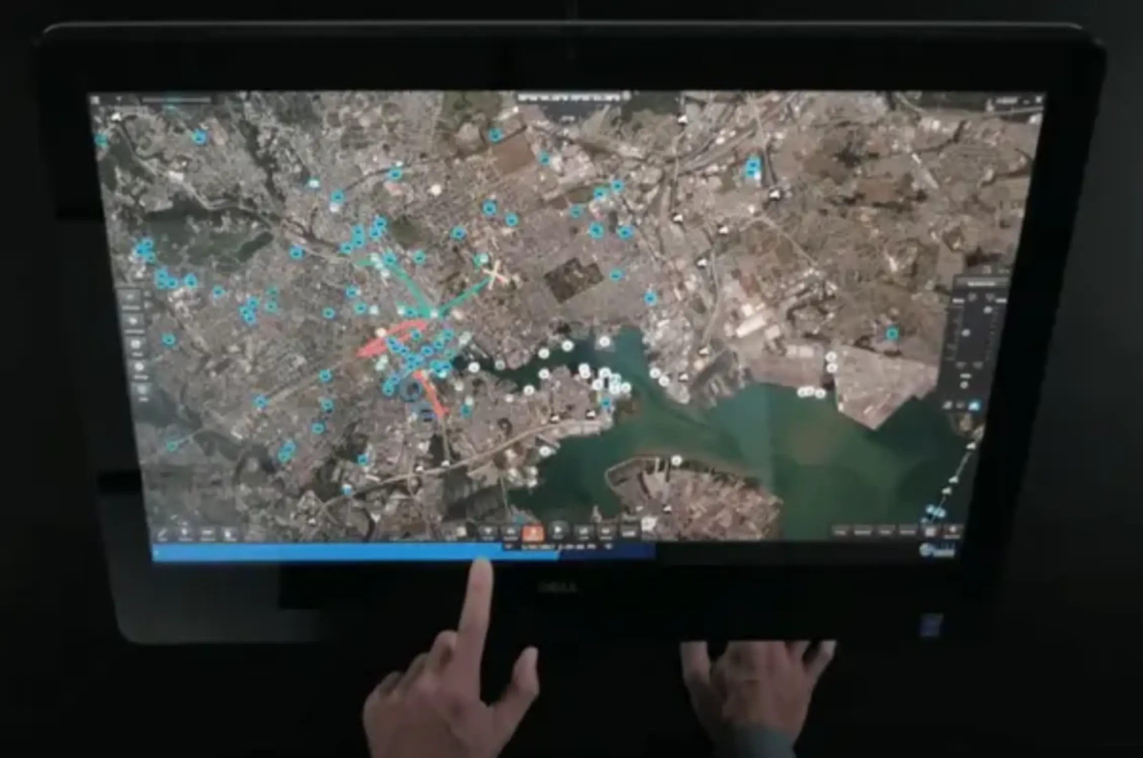
with Live Earth’s Real-Time Mapping and Geospatial Analytics
Improve inter-agency collaboration with shared views and real-time communication.
Live Earth’s platform has revolutionized the way we approach incident command and resource deployment. The real-time data integration gives us the edge we need to keep our community safe.
Commander Sarah Briggs,
Metro City Public Safety Department
| Cookie | Duration | Description |
|---|---|---|
| cookielawinfo-checkbox-analytics | 11 months | This cookie is set by GDPR Cookie Consent plugin. The cookie is used to store the user consent for the cookies in the category "Analytics". |
| cookielawinfo-checkbox-functional | 11 months | The cookie is set by GDPR cookie consent to record the user consent for the cookies in the category "Functional". |
| cookielawinfo-checkbox-necessary | 11 months | This cookie is set by GDPR Cookie Consent plugin. The cookies is used to store the user consent for the cookies in the category "Necessary". |
| cookielawinfo-checkbox-others | 11 months | This cookie is set by GDPR Cookie Consent plugin. The cookie is used to store the user consent for the cookies in the category "Other. |
| cookielawinfo-checkbox-performance | 11 months | This cookie is set by GDPR Cookie Consent plugin. The cookie is used to store the user consent for the cookies in the category "Performance". |
| viewed_cookie_policy | 11 months | The cookie is set by the GDPR Cookie Consent plugin and is used to store whether or not user has consented to the use of cookies. It does not store any personal data. |