Elevate Public Safety
with Live Earth’s Real-Time Mapping and Geospatial Analytics

Optimize Public Safety Operations
Real-time Alerts
Enhanced Awareness
Rapid Response
Utilize the full spectrum of Live Earth's real-time data integration.
The Pressing Needs of Public Safety

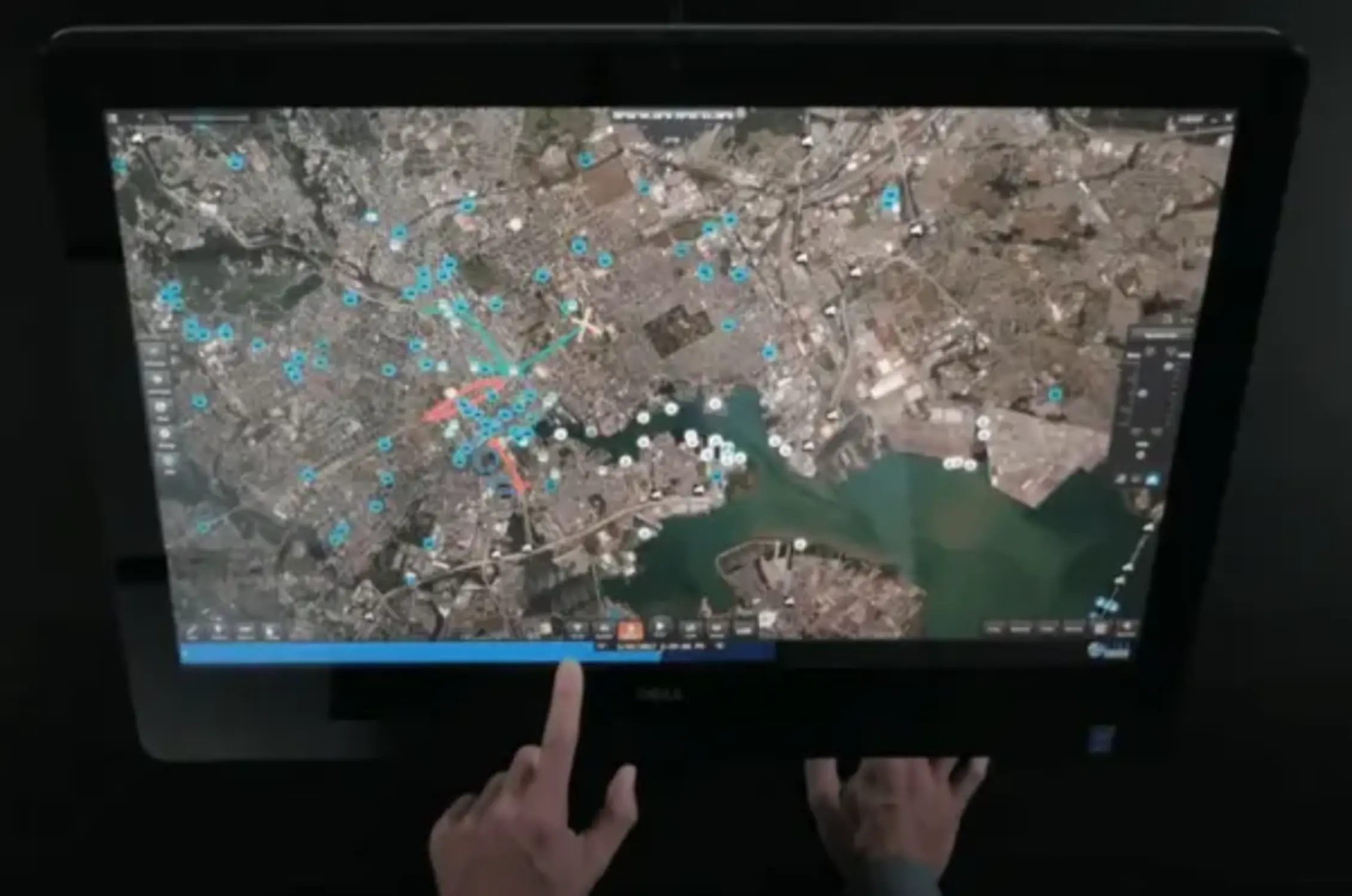
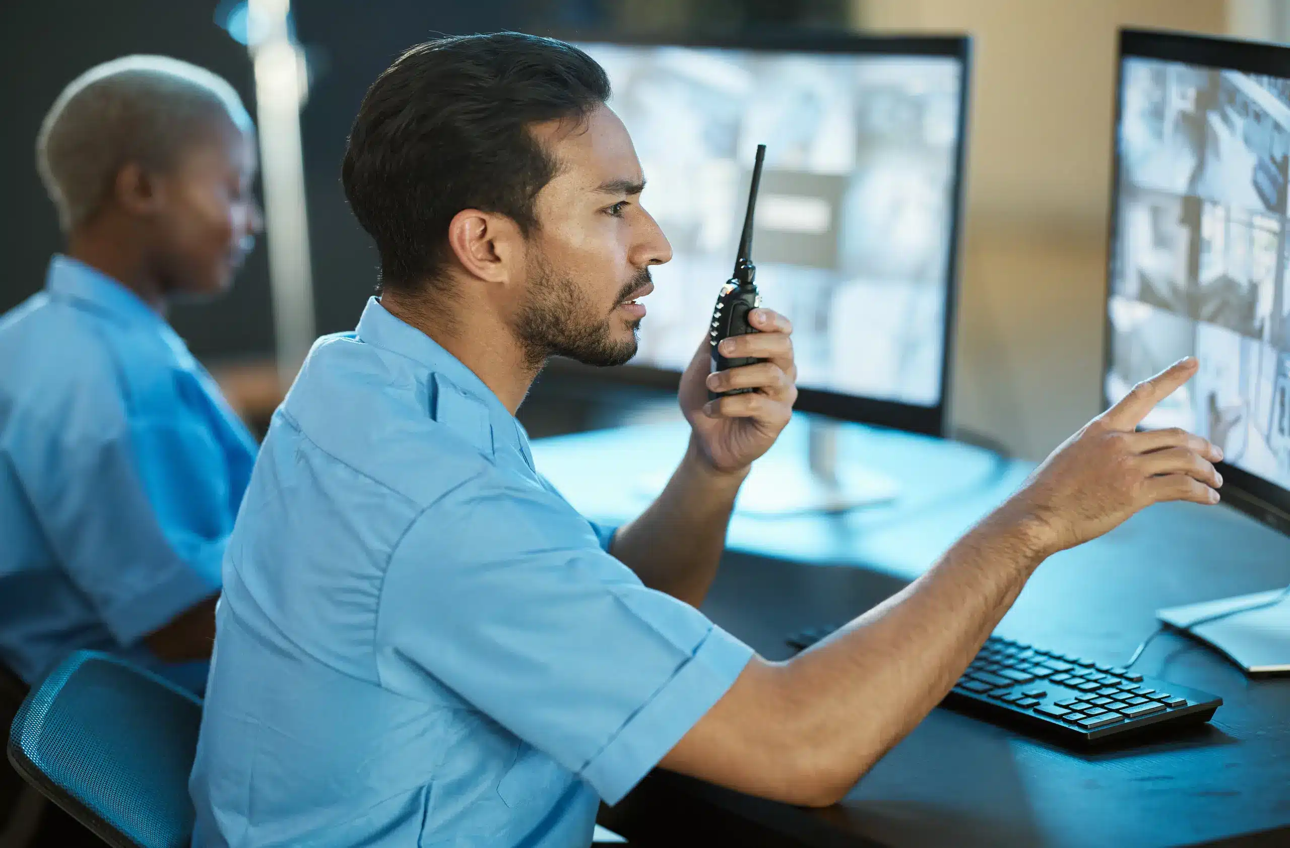
Public safety agencies operate in a world where rapid response and clear situational awareness can make the difference between life and death. Live Earth provides an intuitive platform for integrating real-time data streams to enhance the effectiveness of safety and security operations.
Live Earth’s Impact on Public Safety and Security
Incident Management
Identify and respond to incidents faster with
Live Earth’s real-time alerting and data visualization capabilities.
Resource Allocation
Deploy resources efficiently based on live data feeds, including weather, traffic, and IoT sensors, to areas that need them the most.
Event Planning and Monitoring
Plan and monitor large public events with a comprehensive overview of all assets and personnel in a unified platform.
Crime Pattern Analysis
Analyze crime trends with Live Earth’s advanced analytics to allocate patrols and proactively plan for crime prevention.
Features and Benefits
Responsiveness
Reduce response times with instant alerts and a common operating picture for all team members.
Clarity
Gain clear situational awareness through a live, interactive map that integrates multiple data sources.
Coordination
Improve inter-agency collaboration with shared views and real-time communication.
Insight
Utilize predictive analytics to forecast and prepare for public safety threats.
Live Earth in Action
California Fires
Progressions of air quality, fires, wind direction altogether with critical infrastructure such as power lines/generation, cell towers, etc. This is the only platform that is bringing many dimensions together dynamically.
Environmental
Aggregate time series data of environmental infrastructure like stream gauges, wind patterns, and earthquakes. Taking advantage of macro and micro level viewing resolutions.
Emergency Response
Roll back time-series data to identify the perpetrator of a shooting while improving first responder safety. Instant operational insights in real time and for after action reporting.
Aerial Administration
The 2D & 3D Digital Twin Model of NYC & Northern Europe for Command & Control of Aerial Vehicles and BVLOS (Beyond Visual Line of Sight) Drones.

Live Earth’s platform has revolutionized the way we approach incident command and resource deployment. The real-time data integration gives us the edge we need to keep our community safe.
Commander Sarah Briggs,
Metro City Public Safety Department
Transform your public safety and security operations with advanced real-time
geospatial intelligence. Reach out to us for a personalized walk through of Live Earth’s
geospatial intelligence. Reach out to us for a personalized walk through of Live Earth’s
capabilities or to schedule a live demonstration.
